
Trace an Enfield Street Address
A useful by-address directory search in Enfield begins with an exact street address, not with a guess about a person. The address can anchor a parcel, but each later record adds a different kind of evidence. Vision may identify an owner of record and a mailing destination. GIS can show the parcel shape and its abutters. A deed can establish a recorded transfer. A voter entry or an old directory may connect a name with the address at a point in time, but neither should be treated as a complete household list.
Keep the original street spelling, unit detail, and town label in your notes. Then move through the custodians in a fixed order:
- Start with Vision. Use the Address mode or the alphabetical Street Listing in the Enfield Vision assessor database. Copy the situs, owner or co-owner, mailing address, MBLU, account number, and PID.
- Confirm the map. Open the Enfield GIS Services viewer, search the same address, and use Identify to confirm the parcel. Save the parcel ID and map date before selecting abutters or making a buffer.
- Move to the deed. Search the Enfield Town Clerk land-record index by Party Name, parcel, book/page, map, or legal description. Search the current owner as a grantee near the acquisition date, then read the grantor and prior instrument reference.
- Check the voter layer carefully. The official Connecticut voter lookup has a documented street-name path in the historical manual, but the current public form was blocked during inspection. A missing result is not proof that a person is absent from Enfield.
- Add the historical street view. Use the Enfield Public Library's local-history resources and the 1891 and 1901 directories for dated occupant clues. Read the street section, place heading, and abbreviation key, then compare the entry with the Press archive.
Note: An owner, taxpayer, voter, named occupant, mailing recipient, and permit applicant are separate record roles.
Enfield Street Records by Source
Enfield street records are strongest when their sources stay labeled. The assessor card concerns a parcel and its assessment fields. GIS concerns location and geometry. The Town Clerk index concerns recorded instruments. Permits concern an application or inspection event. Voter and historical sources can add dated name-to-place clues, but they have their own access and removal rules.
| Record set | Keeper | What it can show | Access path |
|---|---|---|---|
| Assessor card | Enfield Assessor / Vision | Parcel, owner, mailing and situs, value, building and land fields | Public portal, with date and disclaimer |
| GIS parcel | Enfield GIS | Location, geometry, layers, abutters and buffer results | Public viewer and REST service |
| Deed or mortgage index | Enfield Town Clerk | Parties, instrument, book/page, date and legal references | Free index; image fee or login may apply |
| Permit record | Building Inspection / ViewMyPermit | Address, permit status, contractor or application fields | Public search may be partial; filing actions need an account |
| Voter record | SOTS / Enfield Registrars | Name, address, district, party, status or history where public | Public lookup and purpose-limited file routes |
| Directory or newspaper | EPL, State Library, EHS | Dated occupants, businesses, notices and obituaries | Library, digital, licensed, or archive access |
The parcel ID, MBLU, map reference, and street spelling are the bridges between these sets. The bridge is not perfect. A permit applicant may not be the owner, a deed party may be an entity, a directory entry may be a business address, and an abutter list may include a parcel outside the named street.
The official Enfield GIS REST MapServer exposes the parcel, address, road, and landbase layers behind structured map work.
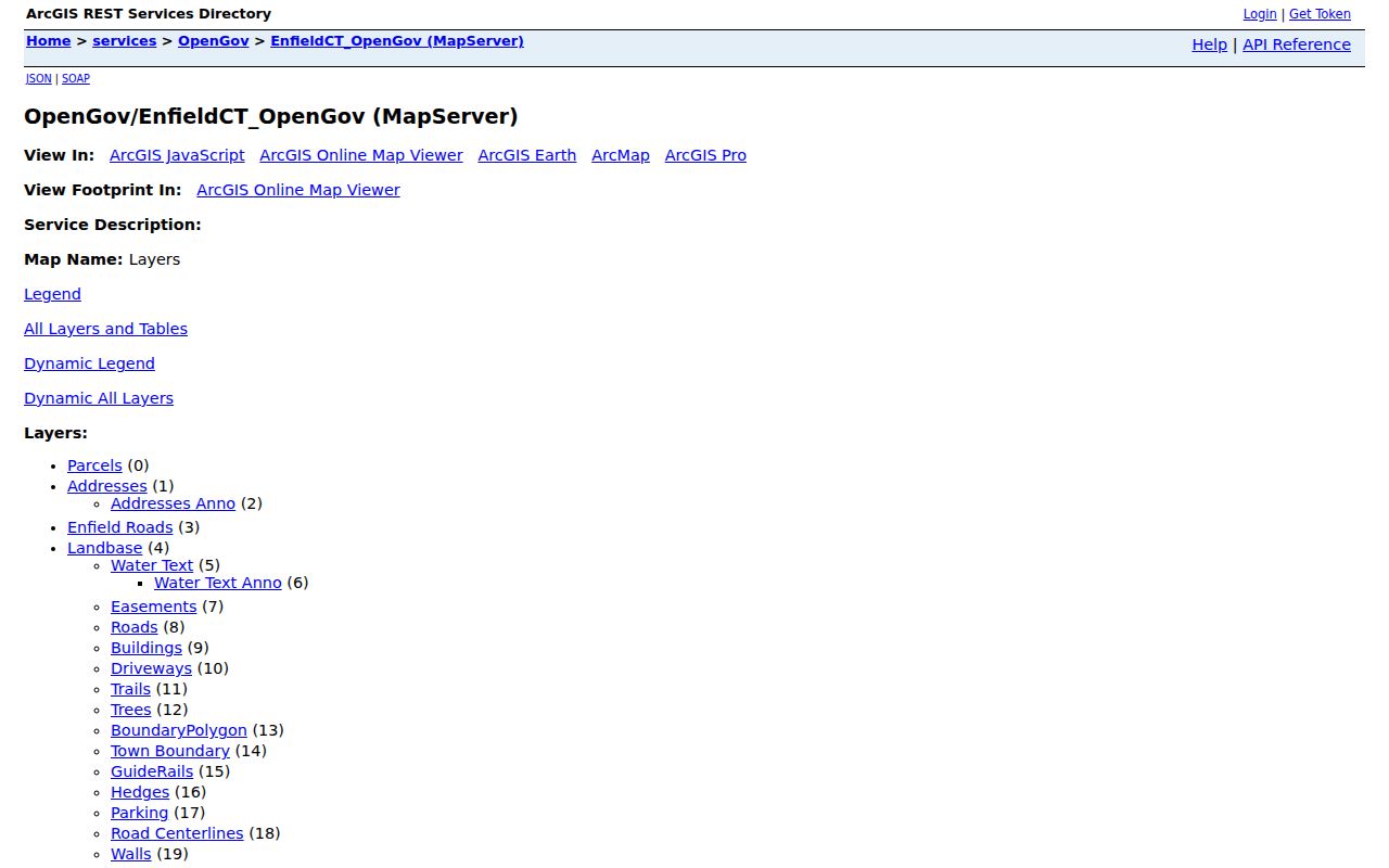
Use the REST layer as a data reference, not as a substitute for the recorded deed or a current survey. Its query service is subject to service limits and the town's representative-data warning.
Read the Enfield Vision Street Listing
The Vision database is the most direct current parcel starting point for Enfield street-by-street research. Its search selector offers Address, Owner, Acct#, Mblu, PID, and All. Address and owner modes take text, while an MBLU search can be split into Map, Map Cut, Block, Block Cut, Lot, Unit, and Unit Cut. The separate Street Listing tab supplies alphabetical street links, and Sales Search is available as another tab with dynamic fields.
The parcel card is richer than a simple name hit. It can show the situs or location address, owner and co-owner, owner-of-record mailing address, MBLU, account number, PID, valuation year, land, improvements, total value, building details, land use, zone, neighborhood, and ownership or sales history. Treat the card as an assessor layer. It does not prove that an owner occupies the situs address, and a mailing address may be outside Enfield.
The Enfield Assessor's Office page is the official entry point for the Vision card used in a by-address search.
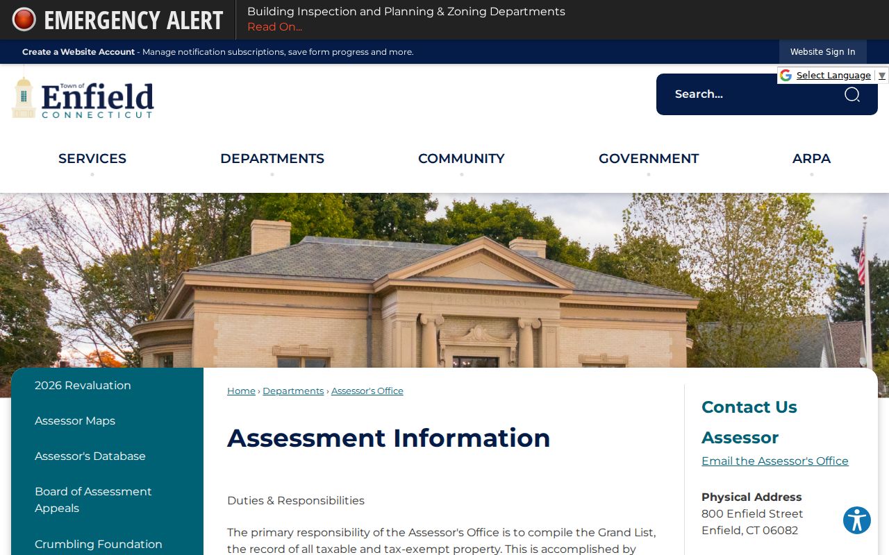
The card gives you identifiers to carry into GIS and the Town Clerk index. Save the valuation year and the date you viewed it because values, owners, and sales history can change.
The Assessor's Office is at 800 Enfield Street, with a mailing address at 820 Enfield Street, phone 860-253-6339, and Monday through Friday hours of 9:00 to 5:00. The office is the fallback when a card needs clarification.
Decode Enfield Street Parcel Fields
Address searches work best when the result is reduced to stable identifiers. The MBLU is a component string, not a second address. Account number and PID give the assessor and map systems another way to find the same parcel when a street name is spelled differently or a number is unclear.
| Field or control | Choice or format | Use in a street search |
|---|---|---|
| Search mode | Address, Owner, Acct#, Mblu, PID, All | Move from a known address to an owner or parcel identifier. |
| Address, Owner, Acct#, PID | Text input | Test exact street spelling, owner variants, or a saved identifier. |
| MBLU components | Map, Map Cut, Block, Block Cut, Lot, Unit, Unit Cut | Decode an ambiguous parcel and carry it into related records. |
| Street Listing | Alphabetical street links | Browse records associated with a street, subject to portal result behavior. |
| Sales Search | Separate tab with dynamic fields | Review comparable-sale research without mistaking it for an occupant list. |
Record both situs and mailing fields. Situs is the physical location attached to the parcel. Mailing is where assessment correspondence is sent. The latter may be a different Connecticut town, another state, a trust or estate address, or a business address. Neither field alone answers who is inside a building today.
Map Enfield Street Parcels and Abutters
Enfield GIS Services adds the spatial step that Vision does not provide. The town describes address and parcel ID search, ownership and assessment display, abutter lists, mailing-label creation, and map printing or sharing. In the viewer, Identify confirms a selected feature, Select Parcels gathers chosen polygons, and Abutters focuses on parcels that touch the subject parcel.
Buffer a Parcel is useful when the question is broader than the property edge. Select a parcel, enter a distance and unit, and create a repeatable radius set. A buffer can include parcels that do not touch the subject parcel, so it is a spatial selection rather than a legal boundary or proof of a social relationship. Layers for roads, buildings, water, easements, trails, wetlands, zoning, polling districts, town properties, and points of interest add place context without turning a map into a people list.
The official Enfield GIS parcel viewer shows the map and selection controls used to move from an address to nearby parcel records.
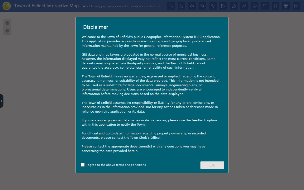
GIS data is provided as is and is representative. The town notes that planimetric and topographic information comes from a 1991 aerial flight with 2006 updates. Use the viewer for orientation, then confirm a boundary, legal description, or notice question with the Assessor, Town Clerk, or a survey.
GIS Services lists Town Hall at 820 Enfield Street, phone 860-253-6300, with Monday through Friday hours of 9:00 to 5:00. That office route matters when the map layer does not answer a parcel question.
Note: An abutter list follows parcel edges, while a buffer follows the distance and unit selected for the map query.
Follow an Enfield Street Deed Chain
Connecticut keeps land records at the town level, so Hartford County is a geographic and court reference rather than a county recorder for Enfield land. The Town Clerk controls the local index. Search by Party Name, document type, date, instrument number, book/page, lot/block, map, district, parcel, case number, or a legal-description line. Results can show status, instrument number, date, book/page, page count, consideration, parcel references, legal lines, party roles, and linked documents.
For a current address, search the owner as grantee near the acquisition date. Open the document when available and capture the grantor, prior book/page, legal description, and instrument reference. Search that grantor as a prior grantee. Trusts, estates, subdivisions, mortgage releases, corrections, and entity names can require a second pass through map, lot, linked-document, or parcel searches. A recorded interest is not automatically proof that a named party lived at the property.
The Enfield land-record index is described as free to search and view, with online coverage from November 1961 to the present. Printing or saving an image is listed at $1 per page plus a $2 service charge or cart fee, and some images display a login or restricted-image message. The in-person Town Clerk route remains important when an image is unavailable. The Clerk's Office is at 820 Enfield Street, and the main phone is 860-253-6440.
- Parcel
- A mapped unit of land represented in the assessor and GIS systems. It is not a list of every person at the address.
- Situs address
- The physical location attached to a parcel. It differs from the mailing address used for correspondence.
- Plat
- A recorded or mapped parcel drawing used with map, lot, subdivision, or legal-description references. Read the deed or survey for the controlling legal text.
- Criss-cross directory
- An address-ordered directory section that works from a street or place to a named occupant or listing, rather than from a name alone.
Note: The free land-record index and a paid or restricted image are separate access steps for the same recorded instrument.
Enfield's Land-Record Cutoff
Coverage has a dated wrinkle. The Town Clerk's public description still says November 1961 to the present, while the March 2026 operations report says year one of a Catalis re-indexing project was complete and the town was waiting for the new indexes to load. The stated goal is to restore online coverage to January 1960. That is a planned expansion, not proof that the live search already reaches that year.
When the online cutoff blocks an older street question, use the Town Clerk's deed books and maps, ask the Clerk how to inspect an older volume, and check State Library or State Archives routes and microfilm where the collection points there. A specific request can also be routed under Connecticut's Freedom of Information Act to the agency holding the record. Preserve the current cutoff in research notes so a later result is not mistaken for the original portal state.
Note: The live land-record page states November 1961 to present, while the re-index report describes January 1960 as a future coverage target.
Date an Enfield House with Permits
Permit records add a change log to an address search. The official ViewMyPermit route exposes Community, Street Name, House Number, and Permit Number or PIN fields, along with controls for existing permits, status checks, new applications, and inspections. Search by the Enfield community and house number first. A permit can point to a project, applicant, contractor, or inspection event, so use it to date visible change rather than to name every person connected with a property.
The permit history may be partial. Compare the result with the Vision building fields, GIS building footprint, deed description, and any municipal archive material. The same house number can have several permits over time, while a permit entry may be tied to a parcel that has since changed ownership.
The regional ViewMyPermit search shows the address fields used for permit research in participating towns, including Enfield.
The search controls are useful for locating a dated permit trail, but an application is not the same thing as a deed, assessment card, or resident record.
Search Enfield's Municipal Archive
Enfield's archive pages provide a second access channel when a current permit search does not answer an older street question. The research inventory identifies monthly building-permit data and archive filters, while noting that a complete beginning year was not confirmed. Use the available filters, then retain the archive label and date with the result.
Archive material can help connect a house number with a construction or alteration event. It still needs a source check. A municipal notice may identify a permit, applicant, contractor, or code action without identifying the people who used the building. Pair it with the parcel card and deed chain, and do not fill gaps with assumptions about an unnamed household.
The Enfield municipal archive is the official companion route for older monthly permit material and other archived town records.
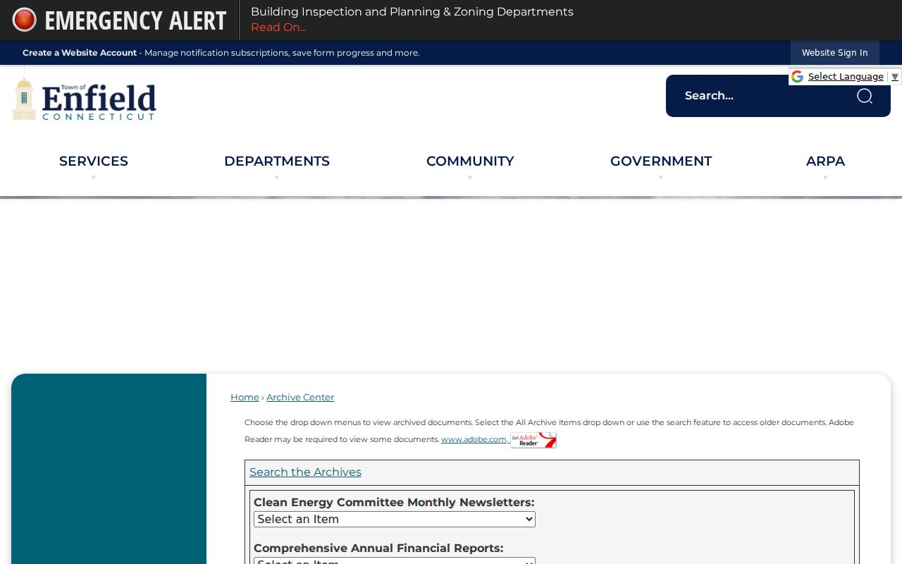
The archive image shows why a dated record label matters. Keep the month, record type, and address exactly as displayed before comparing it with another source.
Check Enfield Voter Records by Street
Voter data can add a public name-and-address layer, but it is not a general directory of Enfield voters. Connecticut's centralized registry can include a name, former name, address or former address, voting district, party affiliation, participation history, and whether participation was in person or absentee. Election-history updates occur within 60 days after an election or primary. The current public lookup form did not render during inspection because of portal security, so its live controls require normal-browser verification.
The historical official manual documents one required criterion among last name, Voter ID, street name, or DMV ID, with first name and date of birth as optional fields. That field inventory should not be presented as a guarantee about the current form. Enfield Registrars are listed at 820 Enfield Street, with office hours Monday, Tuesday, Thursday, and Friday from 9:00 to 1:00, and Wednesday closed.
For a larger registry file, SOTS routes written requests to LEAD at PO Box 150470, Hartford, CT 06115, LEAD@ct.gov, or 860-509-6100. The listed file charge is $300 and the request requires a purpose certification. Permitted categories include election, scholarly, journalistic, political, and governmental work. Personal, commercial, harassment, advertising, solicitation, sale, and marketing uses are excluded. Month and day of birth, DMV ID, Social Security number, and protected-voter information are not general public lookup fields.
Note: A missing voter result can reflect portal limits, a permitted suppression, or a substitute address, rather than proof of no Enfield connection.
Enfield's Old Street Names and Places
Street-by-street research in Enfield carries several layers of place language. The Historic District Guide identifies Enfield, Thompsonville, Hazardville, and Scitico as four historic sections. Modern survey labels add Southwood Acres, North Thompsonville, Green Manorville, Presidential, Whit Acres, and Crescent Lake. A printed directory, map, newspaper heading, and current parcel card may use different labels for the same broad area without establishing a one-to-one modern address match.
The Scantic River and the Hazardville powder-company landscape help explain why an old street record may sit beside factory, church, road, or water references. Thompsonville's carpet and rail history adds another set of place clues. Use those details as context, not as a substitute for an address or parcel identifier. The official historical sources did not establish a verified year for a street renumbering or renaming project.
For an older address, preserve the original street or village wording, then compare it with the 1855 Smith map, 1869 atlas plates, 1908 bird's-eye view, and 1885, 1892, 1905, or 1912 Thompsonville Sanborn sheets. A map can show a footprint or land use without naming every occupant.
Search Enfield ZIP Codes Without Losing Parcel
ZIP is a postal routing field, not a parcel key. The official USPS ZIP Code Lookup offers By Address, By City and State, and Cities by ZIP. By Address asks for company when relevant, street address, apartment or suite, city, state, and an optional ZIP. Use the full street address and unit before carrying a result into GIS or Vision.
USPS label material associates Enfield with 06082 and also shows 06083 in an Enfield label entry. The inspected routing table includes broader Broad Brook routing context, but it does not justify a claim about a physical Enfield post office or a neighborhood boundary. Verify the individual delivery point instead of treating either ZIP as a complete street list.
The Connecticut Judicial property-address form is another local search path with a full five-digit ZIP field, along with city or town, partial street, property type, case type, and case status. A ZIP can narrow a case-address search, but it cannot prove that a named party lived at that property. Vision does not expose ZIP as a primary selector, and the GIS controls did not show a simple public ZIP-boundary filter.
Keep town, city label, ZIP, ZIP+4, delivery point, situs, mailing address, and legal description as separate fields. That separation prevents a postal match from being mistaken for an Enfield parcel match.
Note: A ZIP match validates a delivery route, not a person, occupant, parcel owner, or neighborhood boundary.
Read a Historical Enfield Street
The historical counterpart to a current address search is the reverse or criss-cross directory. The State Librarian's 2013 report confirms an Enfield directory from 1891 with residents, occupations, and addresses. It also describes 1901 village directories for Thompsonville, Windsor Locks, Warehouse Point, Hazardville, Scitico, and Shaker Station. Those runs cross village names and should be read as dated snapshots, not as a current all-resident list.
An entry may sit in a household list, business list, professional list, institution list, or advertisement. A street address can therefore be a home, business, or mailing location in the printed source. Copy the place heading and exact street text before normalizing it. Check the abbreviation key, then compare a name and address with the Enfield Press collection, which begins in 1880 and includes notices, obituaries, society news, school items, meetings, and advertisements.
The Enfield Public Library local-history collection and the State Library's legacy 1891 directory record are the best starting points for this older street layer. The complete historical collection and how to read its entries are covered on the Enfield city directory page.
OCR errors, common surnames, and village headings can create false matches. Confirm the original page where possible, then triangulate with a deed, assessor parcel, map, newspaper notice, cemetery record, or historical inventory. A printed directory is valuable evidence, but it still needs a date and source label.
What Enfield Street Records Leave Out
A street search cannot reveal every person connected with an address. The assessor distinguishes owner, taxpayer, occupant, and mailing recipient. The deed index records parties to an instrument, not a full household. A permit identifies a project participant or inspection event. Historical directories and newspapers capture people who appeared in a dated publication, not everyone who was present.
Several categories remain outside an ordinary street search. DMV address data is restricted by the federal Driver's Privacy Protection Act. Utility and delivery-customer lists are not a public household directory. Protected voters may be suppressed or assigned a substitute address. Juvenile and closed court parties, sealed adoption material, survivor locations, and private organization rosters can also be absent or restricted. A public map should show the record type and date, not turn an abutter list into a personal dossier.
Lawful personal use. Enfield address records are appropriate for personal, family-history, property, and civic research. Do not use public parcel, voter, deed, permit, or map data to stalk, harass, intimidate, dox, or harm anyone.
When a result matters, verify it with the custodian that created the record. The Town Clerk can address a recorded instrument, the Assessor can explain an assessment card, GIS can explain a map layer, SOTS can explain voter access, and the library or archive can identify a historical source. That final source check keeps Enfield's address directory useful without turning a partial record into a claim about a person.