
What Enfield Neighbors Mean in Public Records
A neighbor result needs a label before it needs a name. An abutting parcel is a lot that shares a boundary with the starting parcel. A buffer is a distance-based set that can include lots across a road or open land. An owner is tied to an assessment or recorded interest, while a mailing recipient is the address used for assessment correspondence. A resident claim needs a dated source that actually speaks to residence. These categories overlap, but they are not interchangeable.
The first pass around an Enfield address should place each source beside the question it can answer. The coverage below keeps a block map from becoming an unsupported household list.
| Source | What It Shows About a Block | Access |
|---|---|---|
| Enfield GIS parcel layer | Parcel geometry, touching lots, buffer sets, map layers, and selected parcel identifiers. | Public viewer, with map print, export, and sharing tools. |
| Vision assessment card | Situs address, owner or co-owner, mailing address, MBLU, PID, value, building, land, and sales fields. | Public Vision portal; confirm the card date and disclaimer. |
| Enfield Town Clerk land records | Recorded deeds, mortgages, releases, easements, maps, parties, instruments, dates, and book/page references. | Free online index; images may require login, payment, or a Clerk request. |
| Connecticut voter record | Some name, address, district, party, status, and participation fields, subject to public and safety rules. | State lookup, Enfield Registrar, or a permitted SOTS file request. |
| Town neighborhood survey | Self-reported neighborhood labels and Neighborhood Watch program information, not a member roster. | Neighborhoods page and its public survey route. |
| Voluntary and historical groups | Public contact leads, stories, organizations, clubs, churches, and dated association material. | Organization pages, the library, or historical-society finding aids. |
GIS gives a spatial relationship. Vision gives an assessment snapshot. The Town Clerk gives a recorded land trail. None of those alone proves that an owner, mailing recipient, or deed party lives at the parcel. A voter record can support a dated residence claim when the public field is available, but protected voters may be intentionally absent. Community pages describe voluntary participation, not every household nearby.
The Enfield GIS Services description is the best starting point for address and parcel search, ownership and assessment display, abutters, mailing labels, and map sharing.
The Enfield GIS viewer shows the Select Parcels, Identify, Abutters, and Buffer a Parcel controls used for a block check.
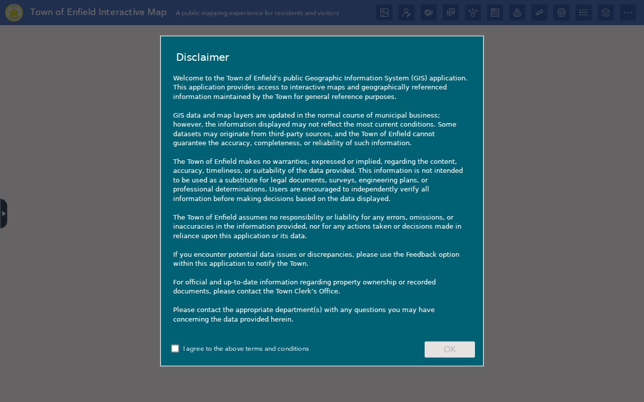
The map view makes the key distinction visible: an edge abutter touches the selected parcel, while a buffer is a stated radius that may reach beyond the next lot.
Mapping Enfield Neighbors from One Address
Use one known address as the anchor, then move from the selected parcel to the lots around it. The goal is a dated, source-labeled block map, not a guess about who is home. Enfield GIS supports a direct address or parcel search, and its tools let the researcher separate a parcel-edge relationship from a distance-based result.
Run the workflow in order. Save the source URL and map date as soon as each result is visible.
- Enter the street address in the Enfield GIS viewer, use Identify, and confirm the selected parcel before looking outward.
- Use Select Parcels or click an adjacent polygon, then open Abutters to record each boundary relationship.
- When a radius is useful, choose Buffer a Parcel and state the distance and units. Mark the result as a buffer, not an abutter list.
- Capture the selected parcel ID and address, every abutter parcel ID and address, the layer, distance and units, timestamp, source URL, and whether the result is a boundary abutter or a buffer result.
- Open each parcel in Vision, then check the Town Clerk index for a recorded interest when the question concerns land ownership or a deed.
A buffer can include a lot that does not touch the starting parcel. It can also cross a road, water, easement, or zoning edge. GIS layers for roads, water, buildings, driveways, trails, trees, voting districts, wetlands, zoning outlines, and Town Properties explain the setting, but the town cautions that the data is representative and provided as-is.
Vision adds the owner and mailing card, while the recorded deed supplies the legal-interest trail. When the question expands from a block to every address along one named street, the Enfield street directory workflow takes over.
Note: Save the map date with each parcel result because assessment, deed, voter, and GIS layers can change on different schedules.
Enfield Neighbors: Ownership and Mailing
The Vision assessment search accepts Address, Owner, Acct#, Mblu, PID, and All. MBLU can be split into Map, Map Cut, Block, Block Cut, Lot, Unit, and Unit Cut fields. That makes the card useful when a street address is unclear or a parcel must be matched to a GIS result.
Copy the situs or location address, owner and co-owner, owner-of-record mailing address, MBLU, account or PID, valuation year, land, improvements, total value, building details, land use, zone, neighborhood, extra features, outbuildings, and sales or ownership history when shown. Keep the situs address separate from the mailing address. The mailing field may be outside Enfield, belong to a trust or estate, or point to a correspondence address. It does not establish occupancy.
- Situs address
- The location of the parcel. It is the address to compare with the GIS map and the street label.
- Mailing address
- The address used for assessment correspondence. It may not be the parcel location or a resident's home.
- Recorded interest
- A deed, mortgage, release, lien, easement, or other instrument indexed by the Town Clerk.
- Property Alert
- An owner-monitoring service for newly recorded deeds or mortgages, not a neighborhood directory.
The Enfield Vision database is a public portal, but the assessor and GIS disclaimers call for confirmation with the deed or Assessor. The Enfield land-record information page directs researchers to the Town Clerk online search and Property Alert. The land-record index is described as November 1961 to the present; a March 2026 re-index project was expected to restore January 1960 after the new indexes load. Search and view are free, while online image print or save is listed at $1 per page plus a $2 service charge and cart. The Clerk's counter is at 820 Enfield Street, with the main office at 860-253-6440 and the Records Manager at 860-253-5141. The counter and phone route remain useful when an image, map, or older book needs help. For a missing older book or unavailable image, make a specific request to the custodian or use the Connecticut FOI portal; a defined-record request is different from asking for a general resident list.
Tax status can add context about an outstanding account or foreclosure process, but a taxpayer, owner, mortgage holder, and occupant can be different people. Building permits and property-maintenance complaints are also address-keyed. Their results identify an applicant, contractor, complainant, or municipal finding, not every person in the home.
Note: Property Alert can monitor several names and warns about same-name matches, but monitoring an owner is not the same as finding nearby residents.
Enfield Neighbors Across Neighborhood Labels
Enfield's neighborhood vocabulary has more than one layer. The town's historic sections are Enfield, Thompsonville, Hazardville, and Scitico. Those names recur in directories, maps, newspaper headings, historical society material, and address descriptions. Modern survey labels add Southwood Acres, North Thompsonville, Green Manorville, Presidential, Whit Acres, and Crescent Lake. A label can help sort a map or a story, but it does not replace a parcel boundary or a dated address.
The town's Neighborhoods page describes Neighborhood Watch and provides a self-reported community survey. Its choices are Thompsonville, Southwood Acres, Hazardville, North Thompsonville, Green Manorville, Presidential, Whit Acres, Crescent Lake, Out of Town, and Other/Don't Know. The survey includes a street-name field, which makes it useful for understanding local geography, not for producing a public membership list.
The neighborhood page is a good source for how residents describe their own area. It should be read beside the GIS layer, the official street spelling, and the parcel map. A modern label may cross more than one block, while a historic village name may cover a changing road and river landscape.
The town's survey and Neighborhood Watch information can be checked directly at the official Enfield neighborhood resource.
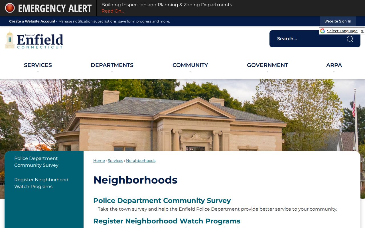
The survey choices show why a social label should be preserved as a self-reported geography, not rewritten as a claim about every household in that area.
Voluntary Connections for Enfield Neighbors
Community contacts can help someone reconnect with a block, learn about a local story, or identify the right public program. They do not turn voluntary participation into a searchable resident roll. Enfield Together's Connect page describes resident connection, neighborhood stories, and community participation. Its public route is for sharing or contacting the organization, not for scraping names or inferring who attended an activity.
The public page is useful because it keeps the human layer separate from the parcel layer. A story may identify a place or event without giving a current address. A contact route may reach a program without exposing its participants.
The Enfield Together connection page shows the voluntary story and contact path available to local neighbors.
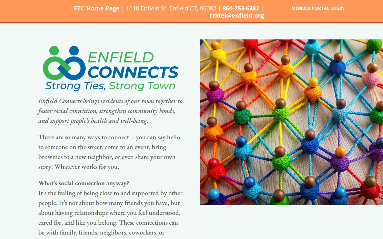
The page supports resident connection and neighborhood stories, while its lack of a searchable member directory is an important access boundary.
Named local sources can be sorted by what they offer and what they do not publish.
| Source or contact lead | Useful block connection | Directory status |
|---|---|---|
| Enfield Neighborhoods and Neighborhood Watch | Official program information and self-reported survey geography. | No public member list located. |
| Enfield Together | Voluntary resident stories, connection, and community participation. | No searchable member directory located. |
| Economic and Community Development | Thompsonville and Hazardville revitalization and program geography. | Program source, not a household roster. |
| Recreation affiliated organizations | Public organization names and contact leads. | Participant rosters were not located. |
| EHS RG 05 and Yale collection | Historical clubs, organizations, churches, people, homes, and event clues. | Finding aids and images; restrictions require inquiry. |
Enfield Historical Society finding aids should be read before contacting volunteers. RG 05, Clubs, Organizations, Societies, can lead to minutes, newsletters, photographs, membership papers, or event ephemera, but the existence of a finding aid does not mean every list is open. Responses may take days or longer. The library's Yale collection categories include People, Homes, Churches, Businesses, Cemeteries, Roads and Dams, and Agriculture. Historical captions may be incomplete, so pair them with the Press, directories, deeds, and maps.
Note: A voluntary contact is a lead to a public organization or story, not permission to infer a private member list.
Enfield Recreation Contacts, Not Participant Rosters
Recreation affiliates can be useful when a block question is really about a public club, a youth program, or a local point of contact. The official list names American Legion Baseball, Enfield Hockey, Enfield Little League, Enfield Ramblers, Enfield Soccer, Youth Wrestling, and softball leagues. These are organization leads. They are not evidence that a named person lives nearby or participates now.
The Enfield affiliated-organizations page is the right place to check the public contact information.
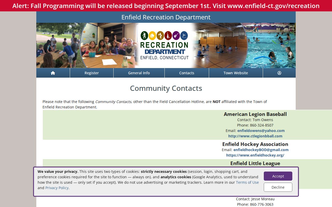
The affiliated page provides organization contacts while keeping participant information outside the public directory layer.
Contact details can change, so verify the current organization page before passing a phone number or email to someone. A club, church, civic group, or block-watch program may also have its own privacy rules. Asking for a public event or general contact is different from seeking a private roster.
Note: Organization affiliation can explain a community connection, but it does not establish a current address, household, or block presence.
Enfield's Thompsonville and Hazardville Block Context
Thompsonville and Hazardville are useful examples of why a neighbor search needs local geography. Economic and Community Development materials cover revitalization work in both areas, while historical sources connect Thompsonville to carpet companies and river and rail growth and Hazardville to the Hazard Powder Company along the Scantic River. A program or historic label describes a place and its change; it does not name every person who lives there.
The Enfield Economic and Community Development page provides the public program context for these neighborhoods.
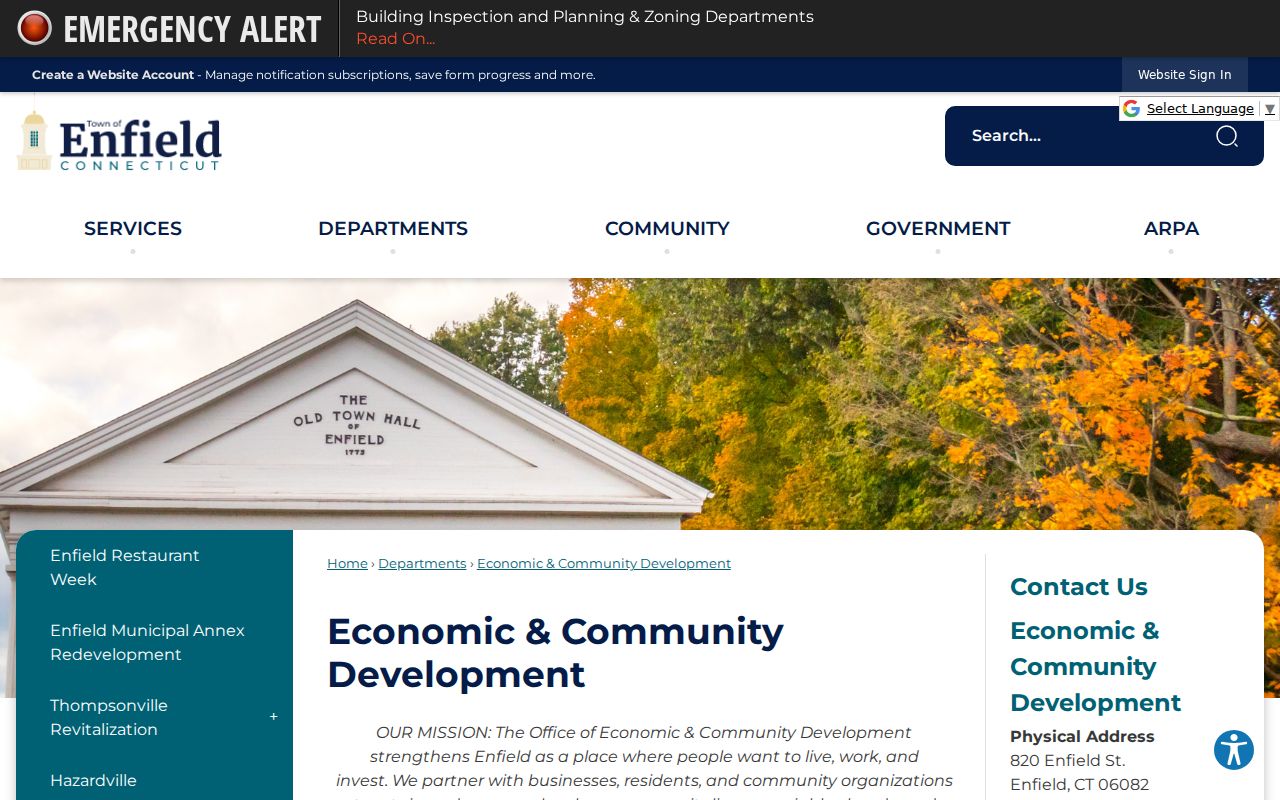
The development view places block questions in a real civic setting, where neighborhood names may reflect an initiative, a historic village, or a resident's survey choice.
Planning and zoning material adds another layer. The Enfield Planning and Zoning page is a public route for land-use and planning context, not a resident list.
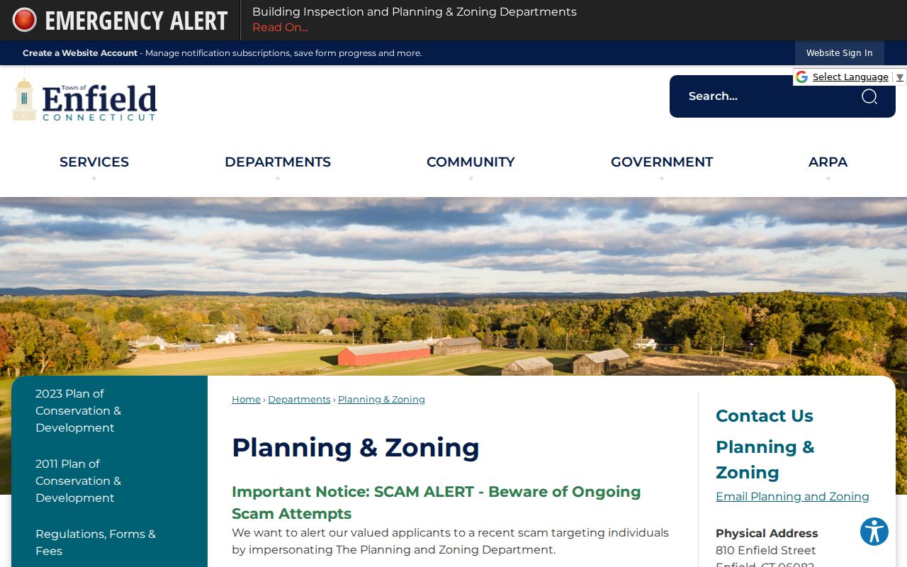
Planning context can help explain why two nearby parcels have different uses or boundaries, while GIS supplies the parcel and layer record for the specific date.
The Connecticut River forms Enfield's western boundary, and the Scantic River passes through Scitico and Hazardville. Water, wetlands, easements, roads, buildings, trails, zoning outlines, and voting districts can shape a block's practical setting. Those layers are useful for place history and civic orientation, but they should never be converted into a claim about private household activity.
Note: A neighborhood label describes social or civic geography; it does not identify every resident on a parcel.
Enfield Voter Rules and Neighbor Privacy
Connecticut voter data can add a dated public-record layer to an Enfield block, but it is not a complete street roster. The official Connecticut voter lookup endpoint was blocked by portal security during the unattended inspection. The official ConnVERSe manual documents a design with one required criterion among Last Name, Voter ID, Street Name, or DMV ID, plus optional First Name and date of birth. Confirm the live form before relying on a field or a no-match result.
A voter record may contain a name, former name, residence address, former address, voting district, party affiliation, application or status information, and participation history. It does not show ballot choices. Election participation is updated within 60 days after each election or primary. Month and day of birth are now protected from general disclosure, leaving only the year public under Public Act 26-1 §96.
There are several legitimate access routes. The Enfield Registrar of Voters is at 820 Enfield Street. Tom Kienzler can be reached at 860-253-6321 and Beth Jerez at 860-253-6322; listed hours are Monday, Tuesday, Thursday, and Friday from 9:00 a.m. to 1:00 p.m., with Wednesday closed. A statewide voter-file request goes through SOTS LEAD at PO Box 150470, Hartford, LEAD@ct.gov, or 860-509-6100. The request form requires a certified election-related, scholarly, journalistic, political, or governmental purpose, and the statewide file fee is $300. Personal, commercial, marketing, harassment, and solicitation uses are barred.
Safety rules can explain why a person does not appear at a real address. CGS §9-50d permits eligible voters to request name and address nondisclosure after a signed safety statement. Connecticut's Address Confidentiality Program, Safe at Home, supplies a substitute Hartford mailing address to qualifying survivors who have relocated. The listed Enfield provider is The Network at 139 Hazard Avenue, Building 3-9, 860-763-4542. CGS §1-217 protects certain officials' and employees' residential addresses, and the federal DPPA, 18 USC §§2721-2725, restricts DMV address information.
Official records and commercial neighbor tools also differ in purpose and control. The category comparison below keeps a paid result from being mistaken for a town record.
| Category | Official Enfield or Connecticut source | Commercial neighbor tool |
|---|---|---|
| Parcel relationship | GIS can show an abutter or a stated-distance buffer, with a layer and map date to preserve. | May merge address data or infer proximity without showing the parcel edge or method. |
| Recorded interest | Vision supplies an assessment snapshot; the Town Clerk index supplies deeds and other recorded instruments. | May copy stale ownership or blend unrelated names from purchased data. |
| Community connection | Neighborhood Watch, Enfield Together, recreation contacts, and historical files are voluntary or dated leads. | May infer a connection from marketing or address-history data without consent or context. |
| Correction and privacy | Ask the actual custodian about a field, suppression, restriction, or access route. | Use the service's privacy channel for its copy; an opt-out does not change an official record. |
Lawful use. Enfield and Connecticut records can support personal, lawful research, reconnecting, house and block history, and safety awareness. Do not use a neighbor lookup to stalk, harass, intimidate, dox, or repeatedly contact anyone. Connecticut stalking and harassment laws apply even when a fact began in a public record.
Occupants and household members not named in a record, utility and delivery customers, protected voters, survivors, juveniles, sealed parties, and private organization members may not appear. A missing result is not proof of nonresidence. Keep the record type, date, source URL, and boundary-abutter or buffer label with every result.
Note: A boundary abutter, an assessment owner, a mailing recipient, and a resident are distinct record claims; keep the label and date attached.